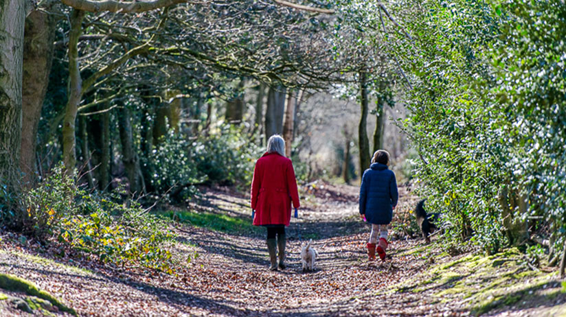
With some of the best landscapes in the country and a fantastic choice of public footpaths, the best way to see the glorious countryside of Kent and Sussex that surrounds Royal Tunbridge Wells is on foot.
By slowing down and absorbing the scenery around you, you’ll gain a new perspective and see so much more.
Here you can roam for miles or take a gentle stroll; walk with the family or wander freely.
Wander, explore, ramble:
-
- Some of the best walks in the Kent Countryside
- Visit the Inspiration for Winnie The Pooh
- Some of the Best National Trails in the UK
- Top 10 Local Walks in the Countryside
- Annual Walking Festivals
- Guided walks
- Easy Access Walks
- Pickup a map – Tourist Information Points

Some of the Best Walks in the Kent Countryside
The marked long distance walking routes around the Tunbridge Wells area are some of the best walks in Kent, an area ideal for walking, rambling, tramping and strolling!

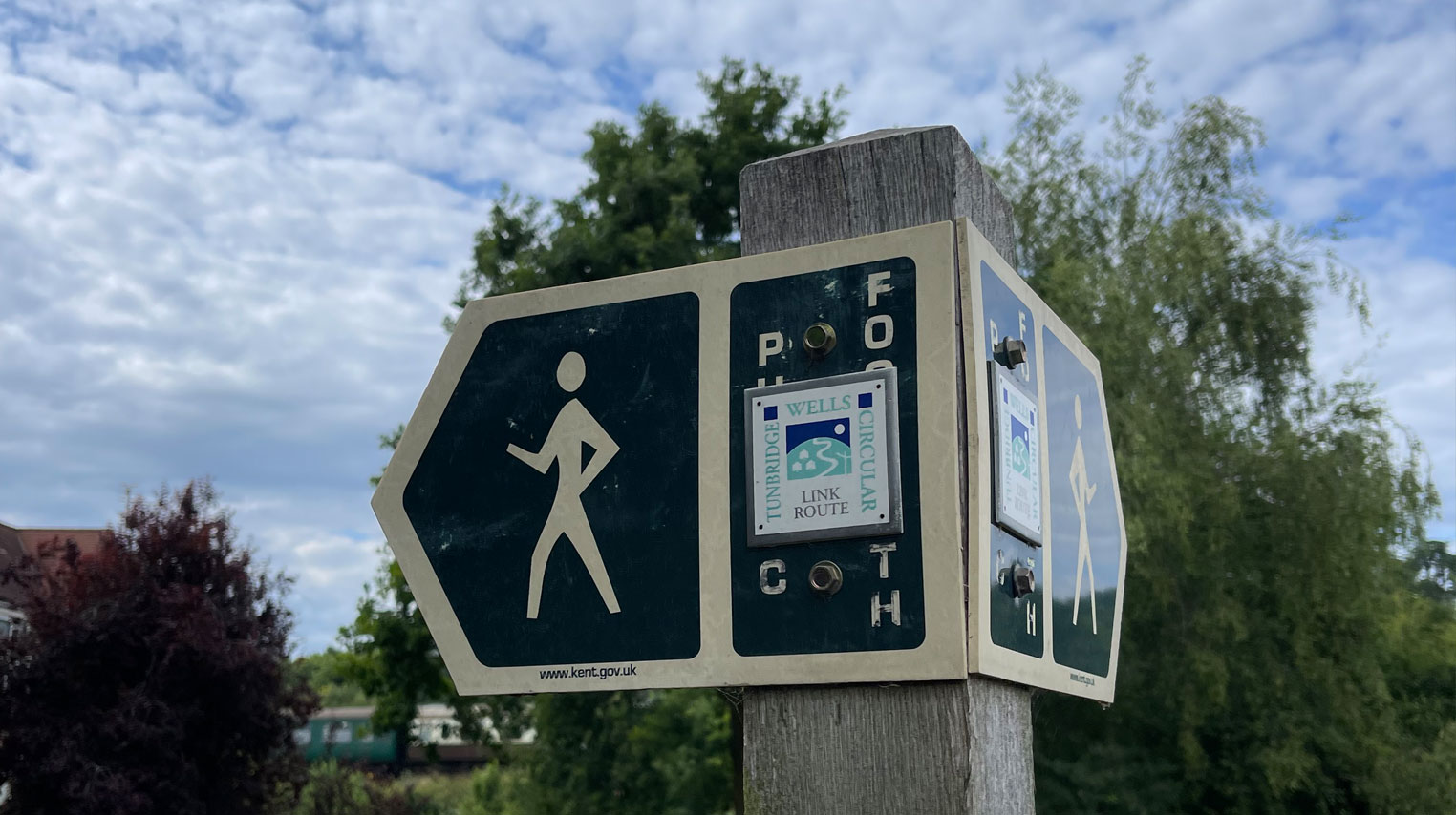
The Tunbridge Wells Circular Walk
This trail has 27½ miles (44.3 km) of paths surrounding the town, with link paths to the Royal town centre. This provides a real challenge for those who want to spend several days in the area. Alternatively, it can be tackled in smaller portions for a more leisurely walk through Kent country. The trail passes quite a few points of interest along the way, such as Groombridge Place Gardens and the outstanding Chagall windows at All Saints’ Church in Tudeley, acting as a good introduction to some of the sights of the local area.

The Wealdway
The Wealdway walk runs across the counties of Kent and Sussex across the chalk ridges of the North and South Downs and through the Weald stretching for almost 80 miles (126.8km).
It begins from Old Father Thames, our famous river at Gravesend in North Kent, and wends its way through Royal Tunbridge Wells before finally running out of land at the seaside in Eastbourne, Sussex.

The Sussex Border Path
The Sussex Border Path, as its name suggests, runs along the county borders of Kent, West Sussex and East Sussex, over the South Downs towards East Grinstead, passing south of Royal Tunbridge Wells to Bewl Water and Hawkhurst and then finishing on the coast in Rye.
The 150 mile walk meanders through unblemished countryside and quaint villages with inviting and friendly pubs offering good traditional food and beer.

Visit the Inspiration for Winnie The Pooh
True Pooh fans can enjoy a game of Poohsticks on Pooh Bridge near the village of Hartfield, a short 20-minute drive away.
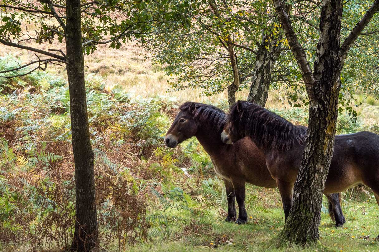
Nearby, Ashdown Forest is the creative birthplace of Hundred Aker Wood in AA Milne’s Winnie the Pooh stories.
The Forest is a protected reserve made up of 2,500 acres of rare and threatened heath habitat interwoven with small trails and bridleways to enjoy.
Some of the Best National Trails in the UK
If you are a keen hiker who loves a challenge the National Trails of the North Downs Way and South Downs Way are within easy reach.
You only need to walk a section of these trails to make a wonderful day out in the countryside.
Alternatively, stay longer, walk further and really explore. The trails link to an extensive rights of way network across Kent and Sussex.

Top 10 Local Walks in the Countryside
Many of the local walks start from the villages and towns such as Goudhurst, Horsmonden, Paddock Wood, Lamberhurst and Cranbrook, with their rich history and heritage they are captivating places to stop and linger.
There’s no rush, so pause, take the time to discover more about our rural villages.
- The Goudhurst walk (A Walk Through Time) is a ten mile circular route that goes through the village and out through ancient woodland awash with bluebells in the spring. South of the village there are stunning views of the fields, orchards, oast houses and woods.
- The Cranbrook Walk is just three miles and takes you into the Wealden farmlands and up to Sissinghurst home to the world-famous gardens.
- The town of Paddock Wood is the starting point for the 5½ mile circular Paddock Wood walk that includes farmland and woodland.
- Horsmonden is the walk to do in Spring through the apple orchards to admire the most beautiful deluge of blossom! View the map on the Explore Kent website.
- Lamberhurst is home to the most romantic castle in Kent, Scotney Castle. Enjoy leisurely walks along the river Teise and the moated castle. A delicious meal awaits at the Vineyard or Chequers Inn Pub. Browse the various walks and direction documents on the local parish website.
- There are several short walks departing from the quaint village of Speldhurst only 15 minutes drive from Royal Tunbridge Wells. From walks through open countryside to local woodlands and a castle, these are the perfect family walk under 2hours. You can view the routes in detail on the parish council webiste. Top tip: There the George and Dragon is a lovely pub for a pre or post walk meal.
- Matfield and Brenchley have 5 circular routes that start from the village centres. Explore the trails on the local parish website.
- In Benenden you can enjoy a series of walks through woods and open countryside. Browse the different options on the local parish
- Trail by Rail: Hop on board the Spa Valley Railway heritage train to Eridge and enjoy a walk across gently rolling hills with views across wooded valleys. Highlights include Harrisons Rocks, a spectacular sandstone outcrop and Oast houses.
- National Trust walks: Sissinghurst Gardens and Scotney Castle offer beautiful views for a leisurely walk. There is a 3miles (4.8 km) walk around the Sissinghurst Estate and a 2 miles (3.2km) trail around the Scotney Castle estate (parking booking required). The Scotney castle visitor centre has free walking maps with more trails to explore. Top Tip: In the Spring and Summer, be sure to take the Hops Trail though the tall fields of hops and the only working National Trust Hop Farm in Kent.
- Bewl Water is great place to enjoy waterside walks around the largest reservoir in the South East.
Explore Kent has lots of downloadable walking guides or you can also view these on the Kent Connected app. Additionally, you can browse AllTrails or OS Maps which are worldwide GPS map services. If you would prefer to hold a paper map, local bookshops sell ordnance survey maps.

Guided Walks
Enjoy a mix of history and leisurely walk around the historic sights of Royal Tunbridge Wells on a Blue Badge Guided Walk. If you’d like to explore our local countryside with a guide, Josine from Walx would be glad to accompany you or alternatively you can join one of her regular walks.
The Amelia Scott
Mount Pleasant Road
Royal Tunbridge Wells
TN1 1AW
Leaflets & customer service
Royal Victoria Place
Shopping Centre
Customer Service Centre
Royal Tunbridge Wells
TN1 2SS
Leaflets & customer service
Pantiles Corn Exchange
(closed Mondays)
Royal Tunbridge Wells
TN2 5TE
Leaflets only
You set the pace
Did you know that at least 70% of Tunbridge Wells Borough is designated as High Weald Area of Outstanding Natural Beauty, giving it a unique and protected status?
Walking is a free and healthy activity and there is always something to appreciate in all seasons.So what are you waiting for? Grab your walking boots, get out and explore our spectacular countryside.
Ordnance Survey maps cover the local area and give details of all the footpaths with public access too.


